|
Hello, I would like to download the images for the precipitation and temperature trends from Earth Map. Is there ay way to do that? I would like to use them in QGis for creation of another map.... Thanks! |
|
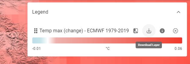
Hi! For all of the layers in Earth Map (except for the Planet Labs/NICFI imagery) there is an icon in the legend that allows you to download the image as a GeoTIFF that can be used in a GIS software. There is also an option to download the image as a PNG file if you just want to insert it into a word document or similar. IMPORTANTTo be able to download the image you need to click on the boundaries that you want to generate the image for (the image will be clipped). Also, the size of the resulting image will be down-scaled as Google Earth Engine currently only supports generating images of less than 32 Mb (in the GEE internal format)
|